
As reported by ScienceMag.org: Unmanned drones aren't just for warfare. In recent years, they’ve been used to map wildlife
and monitor crop growth. But current software can’t always handle the
vast volume of images they gather. Now, researchers have developed an
algorithm that will allow drones to 3D-map scores of hectares of land in
less than a day—an advance that is important for cost-effective
farming, disaster relief, and surveillance operations. “It is revolutionary for the problem of mosaicing large
volumes of imagery,” says computer scientist Dalton Rosario of the U.S.
Army Research Laboratory in Adelphi, Maryland, who was not involved
with the study.
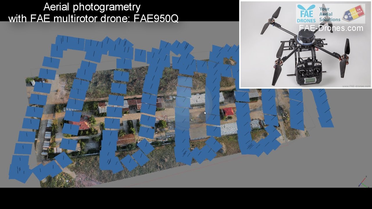
 Camera-equipped, autonomous, unmanned aerial vehicles
(UAVs) can fly low to the ground and take high-resolution images of
crops that tell farmers exactly where to plant their seeds or add
fertilizers—at a tenth the cost of flying a plane or purchasing
satellite images. To stitch the photos together into a mosaic, a
computer program needs to figure out the exact angle and position of the
camera for each picture taken in order to build a 3D model of the land.
Camera-equipped, autonomous, unmanned aerial vehicles
(UAVs) can fly low to the ground and take high-resolution images of
crops that tell farmers exactly where to plant their seeds or add
fertilizers—at a tenth the cost of flying a plane or purchasing
satellite images. To stitch the photos together into a mosaic, a
computer program needs to figure out the exact angle and position of the
camera for each picture taken in order to build a 3D model of the land.
Conventional software does that by looking at common features in
neighboring photos—for example, the same corn plant that appears in two
images—and marking them with points called tie points. The software then
tweaks its calculation of the camera positions for all the photos at
once, so that when it projects the tie points onto a 3D model, points
from different images match up to form a coherent projection of the corn
plant. This method works well for a few hundred photos, but once the
number of images exceed a thousand—typical for mapping a 40-hectare
farm—the process can take 1000 hours, an impossible load for desktop
computers.
So computer scientist Mark Pritt and colleagues at
Lockheed Martin in Gaithersburg, Maryland, took a different route. Their
computer program directly projects the points from each photo onto a 3D
space without knowing the exact shape of the land or the camera
positions. As a result, the tie points don’t necessarily match up, which
means the same corn plant can have two projections on the model. When
that happens, the algorithm automatically takes the middle point between
the two projections as the more accurate location and adjusts the
camera position accordingly, one image at a time. Because the algorithm
tweaks far fewer things at each step, the shortcut drastically speeds up
calculations. Once the software has adjusted the camera positions for
all the photos, the software repeats the entire process—starting from
projecting the points to the 3D space—to correct for any errors.
 With the new algorithm, the researchers can produce a map from a thousand images in just 4 hours,
they reported this month at the annual IEEE Applied Imagery Pattern
Recognition Workshop. That means it can render a map of the land within
24 hours after the drones fly, giving farmers a head start on taking
care of their crops and enabling them to use drones routinely to monitor
crop health.
With the new algorithm, the researchers can produce a map from a thousand images in just 4 hours,
they reported this month at the annual IEEE Applied Imagery Pattern
Recognition Workshop. That means it can render a map of the land within
24 hours after the drones fly, giving farmers a head start on taking
care of their crops and enabling them to use drones routinely to monitor
crop health.
No comments:
Post a Comment